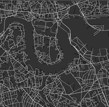
Space Syntax London M25 accessibility model
Urban planning and design company Space Syntax has created the giant map of London's street network which formed an iconic part of the Opening Ceremony for the 2012 London Olympic Games. The map - produced by Space Syntax to advise on plans for new streets and public spaces in London - was spotted by the Games' organisers in a book about the history of mapping in London. The map is one of many produced by Space Syntax to aid property developers and city authorities plan the biggest urban centres on the planet, including Beijing, Sydney and Athens. Based on mathematical analysis of street networks developed at UCL's Bartlett School of Architecture, the map forecasts how people will flow through new developments and how this leads to social and economic benefits such as safer public spaces, more successful shops and higher property values. Space Syntax, which was founded at UCL in 1989, has used its map to redesign key public spaces in London including Trafalgar Square, the South Bank Centre and the Barbican. The map has underpinned many new developments in the capital, including Broadgate and One New Change in the City of London. Most recently it has been used to test proposals for the regeneration of London's Elephant & Castle and Earls Court, two of the largest regeneration projects in Europe.
TO READ THIS ARTICLE, CREATE YOUR ACCOUNT
And extend your reading, free of charge and with no commitment.