Exhibition explores the carbon cycle from space
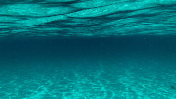
Scientists from UCL are helping audiences to see how the earth 'breathes' and learn more about climate issues like the production and storage of CO2 in a virtual experience for this year's Royal Society Summer Science programme. In an exhibit called How can we track and trace carbon from space? scientists from UCL, the University of Edinburgh and Plymouth Marine Laboratory show how satellites and other technologies can provide a better understanding of the value of our natural assets. Using an interactive map, the public can visualise changes in vegetation levels and forest fires, gasses in the atmosphere, like carbon dioxide and methane, or ocean phytoplankton location. The team also map out some of the insights gained from their research using satellite sensing across marine, atmospheric and terrestrial environments and how these could help mitigate and understand the impacts of climate change. Practical applications include estimating potential carbon storage across whole regions using satellite data. Back on the ground, a team led by Professor of Remote Sensing, Mat Disney (UCL Geography), have demonstrated for the exhibition how the amount of carbon stored in large, older trees may be underestimated by 50% or more, potentially leaving them undervalued in decisions around felling and replanting trees. Trees lock away carbon in their branches and trunk, and in urban areas provide a host of wider benefits to humans and other species.